Great Miami Buried Valley Aquifer (GMBVA)
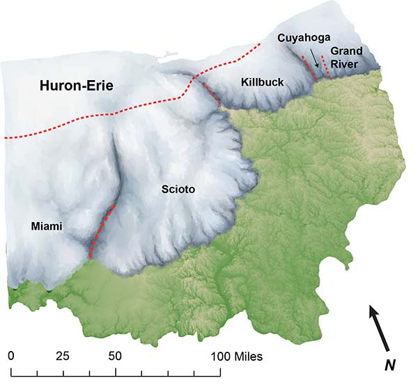
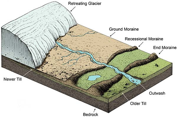
The GMBVA was formed through three successive waves of glaciating during the Pleistocene Epoch, which started 2 million years ago and ended 10, 000 years ago. As glaciers advanced through southwest Ohio, the glaciers deepened and widened the pre-existing valley. As the glaciers melted, flowing melt waters carried sediments, such as rock, gravel, sand, silt and other debris known as glacial till. These sediments were picked up by the advancing glaciers and deposited in the u-shaped valley.
The GMBVA is bounded on its sides by steeply sloping bedrock walls with low permeability. Depth to groundwater from land surface in most parts of the GMBVA system is less than 20 feet, making the GMBVA highly susceptible to contamination from surface sources (see Pollution Potential Map). Aquifer depth ranges from 30 feet to approximately 300 feet deep; width ranges from 1 to 3 miles.
As a result of the repeated advance and retreat cycle of the glaciers, the GMBVA has several layers of well sorted sand and gravel mixed with layers of clay. This type of aquifer is referred to as heterogeneous. The aquifer is replenished through percolation from precipitation (i.e. rain and snow), area streams and more significantly, the Great Miami River. The river will recharge the GMBVA during high river flow periods, which generally run from November through April. Many of the biological, chemical and physical properties of surface water are altered as the surface water percolates through the river bed and underlying sand and gravel deposits. This percolation effectively filters the surface water, resulting in the high quality groundwater enjoyed by 1.6 million people in southwest Ohio.

