The Big Pond
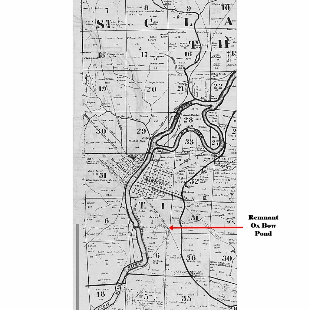
Big Pond Map - There was a question to the location of the “Big Pond”, a water feature to the south of Fort Hamilton. The Butler County, Ohio Map of 1836, by James McBride, reproduced by the Butler County Historical Society, shows a remnant Ox Bow Lake left from a past meandering of the Great Miami River. This previous channel was cutoff from the river and had local drainage into it from the area south of Hamilton. It bred mosquitoes and created a health hazard to the people of Hamilton. Used as a dump for a long time, it was eventually filled in and became the Peck’s Addition area of Hamilton.
